
Miara, Queensland
| Miara Queensland | |||||||||||||||
|---|---|---|---|---|---|---|---|---|---|---|---|---|---|---|---|
 Miara Sugar Mill | |||||||||||||||
 Miara | |||||||||||||||
| Coordinates | 24°41′15″S 152°10′11″E / 24.6875°S 152.1697°E | ||||||||||||||
| Population | 28 (2021 census)[1] | ||||||||||||||
| • Density | 0.585/km2 (1.514/sq mi) | ||||||||||||||
| Postcode(s) | 4673 | ||||||||||||||
| Area | 47.9 km2 (18.5 sq mi) | ||||||||||||||
| Time zone | AEST (UTC+10:00) | ||||||||||||||
| Location |
| ||||||||||||||
| LGA(s) | Bundaberg Region | ||||||||||||||
| State electorate(s) | Burnett | ||||||||||||||
| Federal division(s) | Flynn | ||||||||||||||
| |||||||||||||||
Miara is a rural town and coastal locality in the Bundaberg Region, Queensland, Australia.[2][3] In the 2021 census, the locality of Miara had a population of 28 people.[1]
Geography
[edit]Yandaran Creek forms the south-eastern boundary, and the Coral Sea the north-eastern.[4]
History
[edit]The town's name is believed to be an Aboriginal word from the Kabi language meaning wild woman.[2]
The town site was surveyed in 1884.[2]
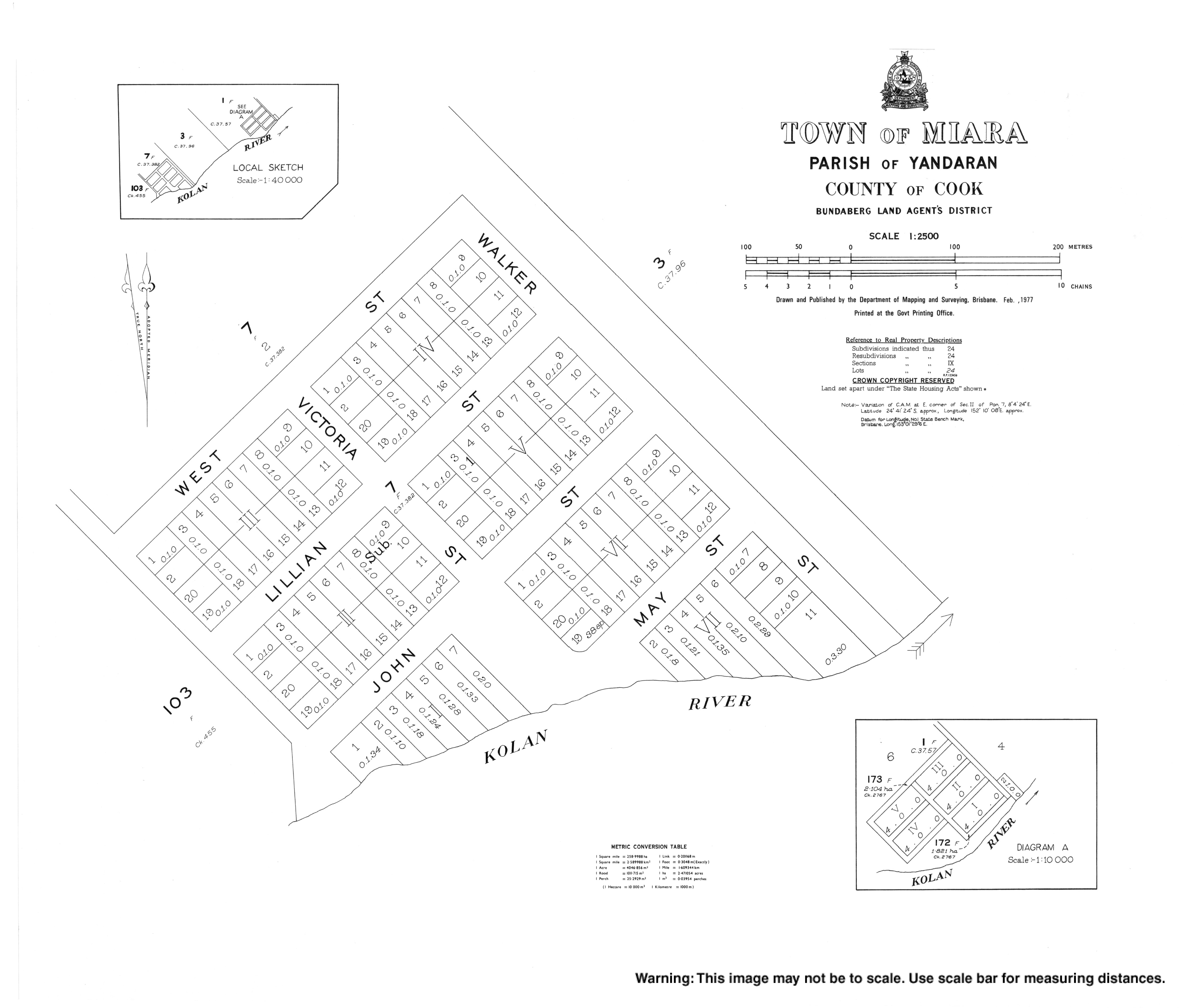
In 1887, 11 acres (4.5 ha) of land was reserved for a pilot station on the Coral Sea coast just north of the mouth of the Kolan River (approx 24°40′07″S 152°12′05″E / 24.6687°S 152.2015°E).[5][6][7]
Tenders were called in 1898 to construct a school building.[8] Miara Provisional School opened circa 1899. On 1 January 1909, it became Miara State School. It closed circa 1922.[9] It was on the southern corner in a bend in Miara Road (24°40′12″S 152°11′35″E / 24.67000°S 152.19292°E).[5][6][7]
Demographics
[edit]In the 2016 census, the locality of Miara had a population of 38 people.[10]
In the 2021 census, the locality of Miara had a population of 28 people.[1]
Education
[edit]There are no schools in Miara. The nearest government primary school is Yandaran State School in neighbouring Yandaran to the south-west. The nearest government secondary school in Rosedale State School in Rosedale to the west.[11]
Amenities
[edit]There is a boat ramp on the north bank of Kolan River (24°40′35″S 152°11′55″E / 24.6764°S 152.1985°E). It is managed by the Bundaberg Regional Council.[12]
References
[edit]- ^ a b c Australian Bureau of Statistics (28 June 2022). "Miara (SAL)". 2021 Census QuickStats. Retrieved 28 February 2023.
- ^ a b c "Miara – town in Bundaberg Region (entry 21750)". Queensland Place Names. Queensland Government. Retrieved 6 March 2022.
- ^ "Miara – locality in Bundaberg Region (entry 44743)". Queensland Place Names. Queensland Government. Retrieved 6 March 2022.
- ^ "Miara, Queensland" (Map). Google Maps. Retrieved 20 August 2021.
- ^ a b "Parish of Yandaran" (Map). Queensland Government. 1901. Retrieved 16 March 2025.
- ^ a b "County of Flinders (Part)" (Map). Queensland Government. 1909. Archived from the original on 16 March 2025. Retrieved 16 March 2025.
- ^ a b "Layers: Locality; Road and rail; Watercourse". Queensland Globe. Queensland Government. Archived from the original on 19 December 2017. Retrieved 15 March 2025.
- ^ "Advertising". The Bundaberg Mail And Burnett Advertiser. No. 1943. Queensland, Australia. 8 August 1898. p. 3. Retrieved 16 March 2025 – via National Library of Australia.
- ^ Queensland Family History Society (2010), Queensland schools past and present (Version 1.01 ed.), Queensland Family History Society, ISBN 978-1-921171-26-0
- ^ Australian Bureau of Statistics (27 June 2017). "Miara (SSC)". 2016 Census QuickStats. Retrieved 20 October 2018.
- ^ "Queensland Globe". State of Queensland. Retrieved 23 June 2022.
- ^ "Recreational Boating Facilities Queensland". Queensland Open Data. Queensland Government. 12 November 2020. Archived from the original on 22 November 2020. Retrieved 22 November 2020.