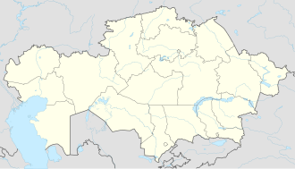
Akkaynar
Appearance
Akkaynar
Аққайнар | |
|---|---|
village | |
| Coordinates: 43°10′0″N 76°2′22″E / 43.16667°N 76.03944°E | |
| Country | Kazakhstan |
| Region | Almaty Region |
| District | Zhambyl District |
| Population (2009) | |
• Total | 2,754 |
| Time zone | UTC+6 (Omsk Time) |
| Postal code | 040602 |
| Area code | 72770 |
Akkaynar (Kazakh: Аққайнар, Aqqainar), formerly Prudki, is an agricultural village in Almaty Region of south-eastern Kazakhstan. It is located approximately 40 kilometres west of Kaskelen, not far from the border with Kyrgyzstan. There are petroglyphs in the lower parts of the namesake river valley, discovered in 2001 C.E. by J. Abubekerov and R. Sala.
Population density
[edit]| year | Population density |
|---|---|
| 1999 | 1916 |
| 2009 | 2754 |
Climate
[edit]The climate is moderately continental with warm summers and moderately cold winters. The warmest month of the year is July (March), the coldest is January (February).
External links
[edit]


