
File:Sadi-Carnot Bridge, Sète, Hérault 01.jpg

Size of this preview: 800 × 500 pixels. Other resolutions: 320 × 200 pixels | 640 × 400 pixels | 1,024 × 640 pixels | 1,280 × 800 pixels | 2,560 × 1,600 pixels | 5,659 × 3,537 pixels.
Original file (5,659 × 3,537 pixels, file size: 12.7 MB, MIME type: image/jpeg)
| This is a file from the Wikimedia Commons. Information from its description page there is shown below. Commons is a freely licensed media file repository. You can help. |
Summary
| Description |
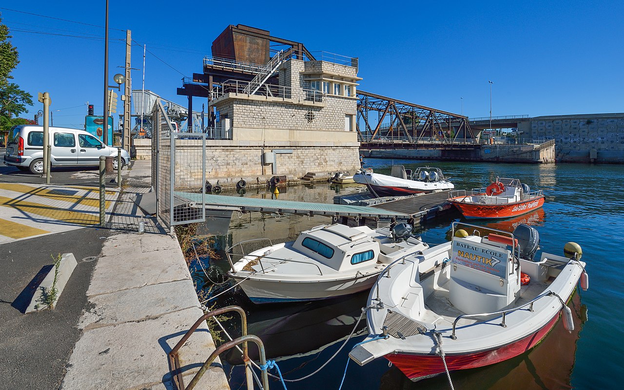
Français : Le Pont Sadi-Carnot, pont à bascule en position fermé, depuis le Quai de Bosc. Sète, Hérault, France. English: Sadi-Carnot Bridge, bascule bridge in closed position, from Bosc Embankment. Sète, Hérault, France |
| Date | |
| Source | Own work |
| Author | Christian Ferrer |
| Camera location | | View this and other nearby images on: OpenStreetMap |
|---|
Licensing
I, the copyright holder of this work, hereby publish it under the following license:
This file is licensed under the Creative Commons Attribution-Share Alike 3.0 Unported license.
- You are free:
- to share – to copy, distribute and transmit the work
- to remix – to adapt the work
- Under the following conditions:
- attribution – You must give appropriate credit, provide a link to the license, and indicate if changes were made. You may do so in any reasonable manner, but not in any way that suggests the licensor endorses you or your use.
- share alike – If you remix, transform, or build upon the material, you must distribute your contributions under the same or compatible license as the original.
| Annotations | This image is annotated: View the annotations at Commons |

This image has been assessed using the Quality image guidelines and is considered a Quality image.
|
File history
Click on a date/time to view the file as it appeared at that time.
| Date/Time | Thumbnail | Dimensions | User | Comment | |
|---|---|---|---|---|---|
| current | 11:21, 15 August 2013 | | 5,659 × 3,537 (12.7 MB) | Christian Ferrer | perspectives |
| 05:21, 15 August 2013 |  | 5,770 × 3,606 (13.21 MB) | Christian Ferrer | User created page with UploadWizard |
File usage
The following page uses this file: