
File:Provincia Margarita.jpg
Size of this preview: 800 × 549 pixels. Other resolutions: 320 × 220 pixels | 640 × 439 pixels | 1,024 × 703 pixels | 1,280 × 879 pixels | 2,560 × 1,757 pixels | 4,592 × 3,152 pixels.
Original file (4,592 × 3,152 pixels, file size: 10.88 MB, MIME type: image/jpeg)
| This is a file from the Wikimedia Commons. Information from its description page there is shown below. Commons is a freely licensed media file repository. You can help. |
Summary
| Description |
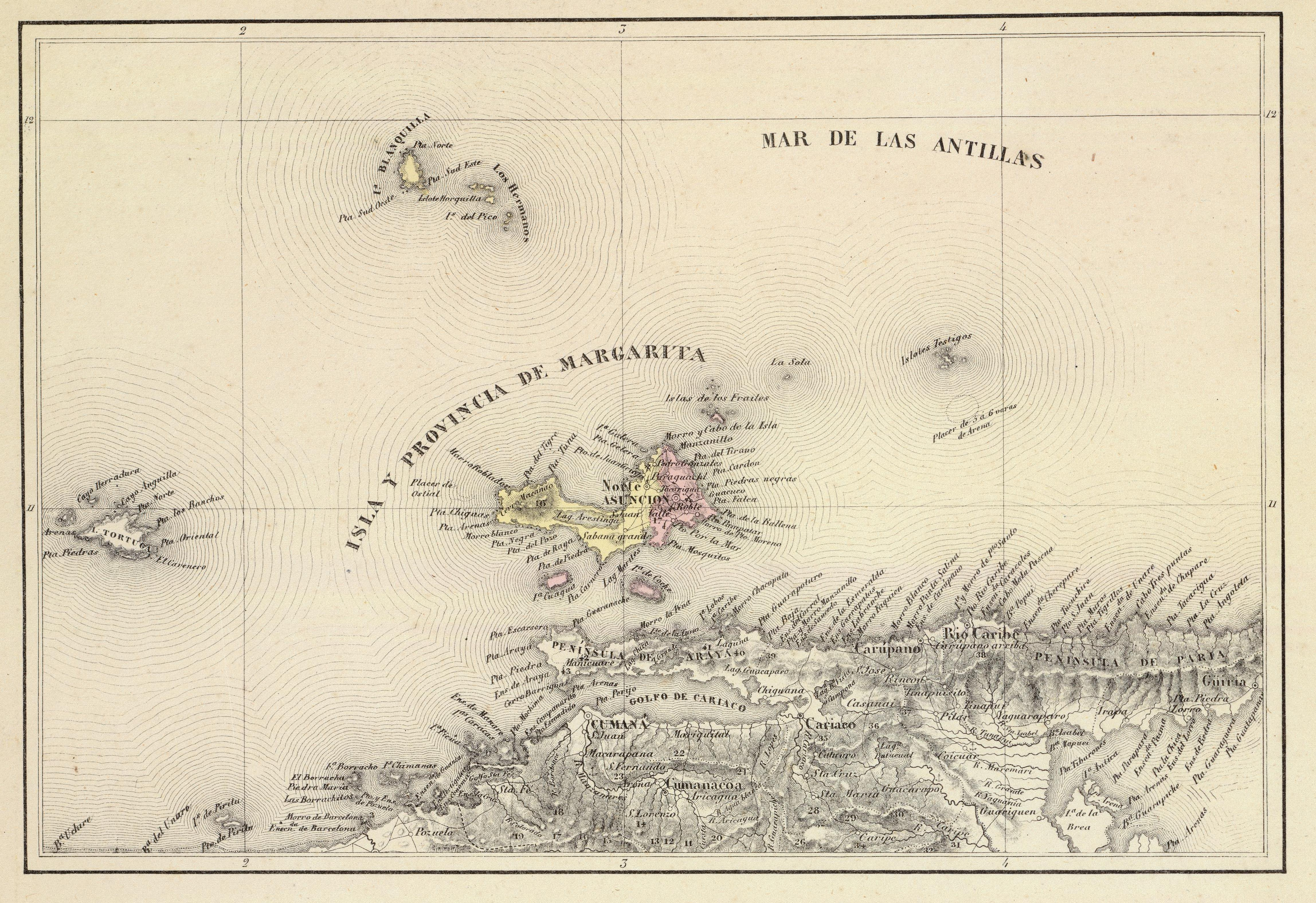
Español: Provincia de Margarita. Tomado del "Atlas físico y político de la República de Venezuela", 1840. |
||||||||||||||||||||
| Date | |||||||||||||||||||||
| Source | Historical Maps by Agustín Codazzi, from David Rumsey Website | ||||||||||||||||||||
| Author |
|
||||||||||||||||||||

Licensing
|
This work is in the public domain in its country of origin and other countries and areas where the copyright term is the author's life plus 70 years or fewer. | |
| This file has been identified as being free of known restrictions under copyright law, including all related and neighboring rights. | |
File history
Click on a date/time to view the file as it appeared at that time.
| Date/Time | Thumbnail | Dimensions | User | Comment | |
|---|---|---|---|---|---|
| current | 15:07, 15 November 2015 | | 4,592 × 3,152 (10.88 MB) | Wilfredor | more size |
| 03:58, 10 January 2009 |  | 1,129 × 777 (282 KB) | Milenioscuro | {{Information |Description={{es|1=Provincia de Margarita. Tomado del "Atlas físico y político de la República de Venezuela", 1840.}} |Source=[http://www.davidrumsey.com/directory/who/Codazzi++Agustin++1793+1859/ Historical Maps by Agustín Codazzi, fro |
File usage
The following 2 pages use this file:
Global file usage
The following other wikis use this file:
- Usage on el.wikipedia.org
- Usage on es.wikipedia.org
- Usage on fr.wikipedia.org
- Usage on he.wikipedia.org
- Usage on hy.wikipedia.org
- Usage on it.wikipedia.org
- Usage on pt.wikipedia.org
- Usage on sv.wikipedia.org
- Usage on www.wikidata.org