
File:Luxembourg, Luxembourg, Ferraris Map, 1775.jpg
Size of this preview: 800 × 567 pixels. Other resolutions: 320 × 227 pixels | 640 × 454 pixels | 1,024 × 726 pixels | 1,312 × 930 pixels.
Original file (1,312 × 930 pixels, file size: 1.26 MB, MIME type: image/jpeg)
| This is a file from the Wikimedia Commons. Information from its description page there is shown below. Commons is a freely licensed media file repository. You can help. |
Summary
| Description |
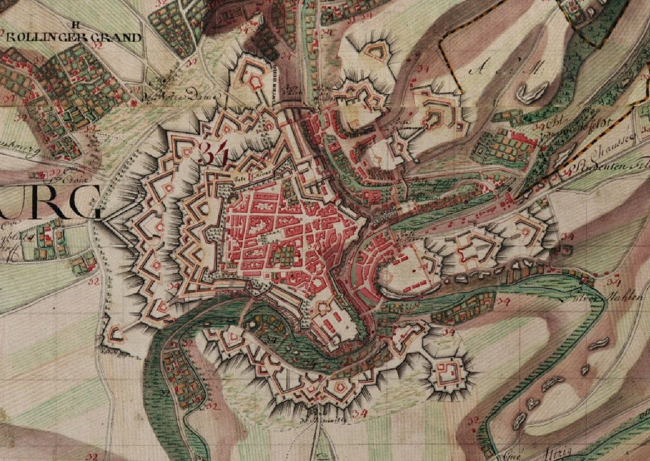
English: Luxembourg,_Luxembourg,_Ferraris_Map,_1775.jpg |
| Date | |
| Source | http://belgica.kbr.be/nl/coll/cp/cpFerrarisCarte_nl.html |
| Author | Joseph Johann Ferraris (1726 – 1814) |
Licensing
|
This is a faithful photographic reproduction of a two-dimensional, public domain work of art. The work of art itself is in the public domain for the following reason:
The official position taken by the Wikimedia Foundation is that "faithful reproductions of two-dimensional public domain works of art are public domain".
This photographic reproduction is therefore also considered to be in the public domain in the United States. In other jurisdictions, re-use of this content may be restricted; see Reuse of PD-Art photographs for details. | ||||
File history
Click on a date/time to view the file as it appeared at that time.
| Date/Time | Thumbnail | Dimensions | User | Comment | |
|---|---|---|---|---|---|
| current | 15:08, 29 September 2012 | | 1,312 × 930 (1.26 MB) | Jmh2o | Capture sans outils de navigation |
| 12:34, 29 October 2010 |  | 1,680 × 1,050 (339 KB) | Donarreiskoffer | {{Information |Description={{en|1=Luxembourg,_Luxembourg,_Ferraris_Map,_1775.jpg}} |Source=http://belgica.kbr.be/nl/coll/cp/cpFerrarisCarte_nl.html |Author=Joseph Johann Ferraris (1726 – 1814) |Date=1775 |Permission= |other_versions= }} [[Category:Old |
File usage
The following page uses this file:
Global file usage
The following other wikis use this file:
- Usage on fr.wikipedia.org
- Usage on it.wikipedia.org
- Usage on sk.wikipedia.org
- Usage on zh.wikipedia.org