
File:Looking (carefully) down Craig y Pistyll - geograph.org.uk - 1710687.jpg
Size of this preview: 400 × 600 pixels. Other resolutions: 160 × 240 pixels | 320 × 480 pixels | 512 × 768 pixels | 682 × 1,024 pixels | 2,336 × 3,504 pixels.
Original file (2,336 × 3,504 pixels, file size: 4.22 MB, MIME type: image/jpeg)
| This is a file from the Wikimedia Commons. Information from its description page there is shown below. Commons is a freely licensed media file repository. You can help. |
_down_Craig_y_Pistyll_-_geograph.org.uk_-_1710687.jpg)
Summary
| Description |
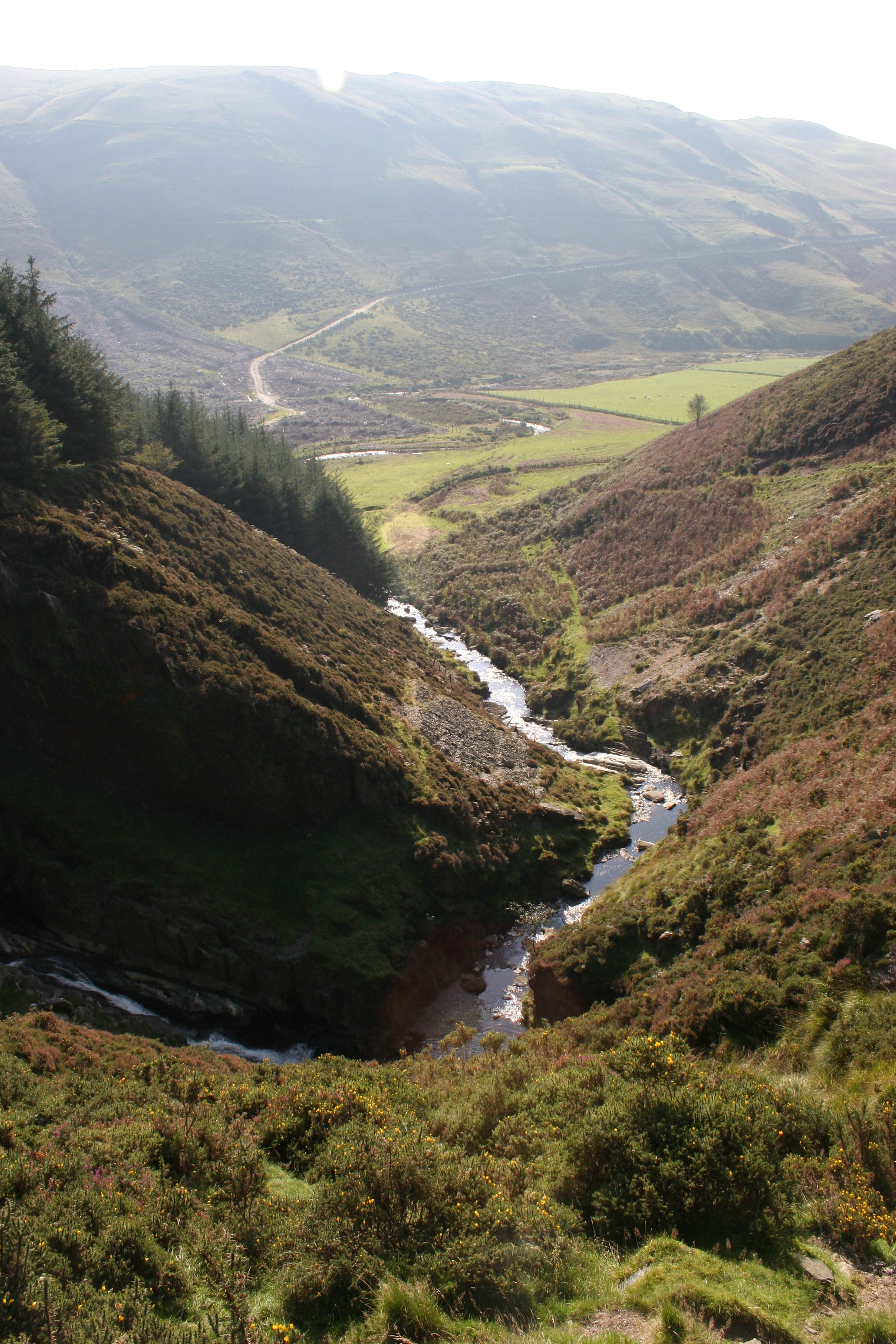
English: Looking (carefully) down Craig y Pistyll The narrow path crosses a steep and exposed gravel/scree slope and although I have walked it several times in both directions I am usually concentrating on not slipping rather than on taking a photo of the excellent view down. |
| Date | |
| Source | From geograph.org.uk |
| Author | Chris Denny |
| Attribution (required by the license) | Chris Denny / Looking (carefully) down Craig y Pistyll / |
| Camera location | | View this and other nearby images on: OpenStreetMap |
|---|
_down_Craig_y_Pistyll_-_geograph.org.uk_-_1710687.jpg¶ms=052.452540_N_-003.896600_E_globe:Earth_type:camera_source:geograph-osgb36(SN71218553)_heading:202.00&language=en)
| Object location | | View this and other nearby images on: OpenStreetMap |
|---|
_down_Craig_y_Pistyll_-_geograph.org.uk_-_1710687.jpg¶ms=052.451190_N_-003.897100_E_globe:Earth_class:object_type:object_source:geograph-osgb36(SN71178538)_heading:202.00&language=en)
Licensing

|
This image was taken from the Geograph project collection. See this photograph's page on the Geograph website for the photographer's contact details. The copyright on this image is owned by Chris Denny and is licensed for reuse under the Creative Commons Attribution-ShareAlike 2.0 license.
|
This file is licensed under the Creative Commons Attribution-Share Alike 2.0 Generic license.
Attribution:
Chris Denny
- You are free:
- to share – to copy, distribute and transmit the work
- to remix – to adapt the work
- Under the following conditions:
- attribution – You must give appropriate credit, provide a link to the license, and indicate if changes were made. You may do so in any reasonable manner, but not in any way that suggests the licensor endorses you or your use.
- share alike – If you remix, transform, or build upon the material, you must distribute your contributions under the same or compatible license as the original.

|
The categories of this image need checking. You can do so here.
|
_down_Craig_y_Pistyll_-_geograph.org.uk_-_1710687.jpg&action=edit&withJS=MediaWiki:Catcheck.js)
File history
Click on a date/time to view the file as it appeared at that time.
| Date/Time | Thumbnail | Dimensions | User | Comment | |
|---|---|---|---|---|---|
| current | 08:40, 5 March 2011 | | 2,336 × 3,504 (4.22 MB) | GeographBot | == {{int:filedesc}} == {{Information |description={{en|1=Looking (carefully) down Craig y Pistyll The narrow path crosses a steep and exposed gravel/scree slope and although I have walked it several times in both directions I am usually concentrating on n |
File usage
The following page uses this file:
Global file usage
The following other wikis use this file:
- Usage on cy.wikipedia.org
- Usage on www.wikidata.org
_down_Craig_y_Pistyll_-_geograph.org.uk_-_1710687.jpg)