
File:Location map Southern San Diego.png
Size of this preview: 632 × 599 pixels. Other resolutions: 253 × 240 pixels | 506 × 480 pixels | 699 × 663 pixels.
Original file (699 × 663 pixels, file size: 500 KB, MIME type: image/png)
| This is a file from the Wikimedia Commons. Information from its description page there is shown below. Commons is a freely licensed media file repository. You can help. |
| Description |
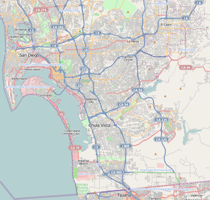
This map of Southern San Diego was created from OpenStreetMap project data, collected by the community. This map may be incomplete, and may contain errors. Don't rely solely on it for navigation. |
|||||||||
| Date | (see file history) | |||||||||
| Source | openstreetmap.org | |||||||||
| Creator |
OpenStreetMap contributors |
|||||||||
| Permission (Reusing this file) |
OpenStreetMap data and maps are licensed under the Creative Commons Attribution-ShareAlike 2.0 license (CC-BY-SA 2.0). This file is licensed under the Creative Commons Attribution-Share Alike 2.0 Generic license.
|
|||||||||
| Geotemporal data | ||||||||||
| Bounding box |
|
|||||||||
| Georeferencing | If inappropriate please set warp_status = skip to hide. | |||||||||
File history
Click on a date/time to view the file as it appeared at that time.
| Date/Time | Thumbnail | Dimensions | User | Comment | |
|---|---|---|---|---|---|
| current | 03:47, 19 December 2010 | | 699 × 663 (500 KB) | Zzyzx11 | {{OpenStreetMap |location=Southern San Diego |top=32.831 |bottom=32.526 |left=-117.265 |right=-116.883 }} Category:OpenStreetMap maps of the United States Category:Maps and diagrams of San Diego, California |
File usage
The following 42 pages use this file:
- Alta Vista, San Diego
- Bay Terraces, San Diego
- Broadway Heights, San Diego
- Chollas View, San Diego
- College Area, San Diego
- Del Cerro, San Diego
- ENS 700 Field
- Egger Highlands, San Diego
- Emerald Hills, San Diego
- Encanto, San Diego
- Grant Hill, San Diego
- Grantville, San Diego
- Initial Point of Boundary Between U.S. and Mexico
- International Boundary Wastewater Treatment Plant
- Jamacha, San Diego
- Lincoln Park, San Diego
- Logan Heights, San Diego
- Lomita, San Diego
- Memorial, San Diego
- Mount Hope, San Diego
- Mountain View, San Diego
- National City, California
- O'Farrell, San Diego
- Oak Park, San Diego
- Otay Mesa, San Diego
- Paradise Hills, San Diego
- Redwood Village, San Diego
- San Carlos, San Diego
- San Ysidro, San Diego
- Shelltown, San Diego
- Sherman Heights, San Diego
- Skyline, San Diego
- South San Diego
- Southcrest, San Diego
- Southeast San Diego
- Stockton, San Diego
- Tierrasanta, San Diego
- United States Custom House (San Ysidro, California)
- Valencia Park, San Diego
- User:LeeRP/Rolando Park, San Diego
- Module:Location map/data/United States San Diego Southern
- Module:Location map/data/United States San Diego Southern/doc
Global file usage
The following other wikis use this file:
- Usage on ar.wikipedia.org
- Usage on azb.wikipedia.org
- Usage on ceb.wikipedia.org
- Usage on es.wikipedia.org
- Usage on fa.wikipedia.org
- Usage on fr.wikipedia.org
- Usage on kn.wikipedia.org
- Usage on si.wikipedia.org
- Usage on tr.wikipedia.org
- Usage on uz.wikipedia.org
- Usage on war.wikipedia.org