
File:Location map India Bhopal.svg

Size of this PNG preview of this SVG file: 665 × 599 pixels. Other resolutions: 266 × 240 pixels | 533 × 480 pixels | 852 × 768 pixels | 1,136 × 1,024 pixels | 2,272 × 2,048 pixels | 1,075 × 969 pixels.
Original file (SVG file, nominally 1,075 × 969 pixels, file size: 1.11 MB)
| This is a file from the Wikimedia Commons. Information from its description page there is shown below. Commons is a freely licensed media file repository. You can help. |
| Description |
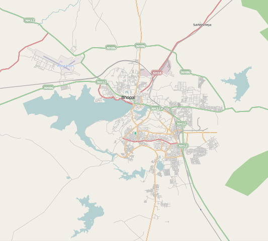
Map of Bhopal, India This map of Bhopal was created from OpenStreetMap project data, collected by the community. This map may be incomplete, and may contain errors. Don't rely solely on it for navigation. |
|||||||||
| Date | ||||||||||
| Source | You may find a page on the OpenStreetMap wiki page for Bhopal | |||||||||
| Creator |
OpenStreetMap contributors |
|||||||||
| Permission (Reusing this file) |
OpenStreetMap data and maps are licensed under the Creative Commons Attribution-ShareAlike 2.0 license (CC-BY-SA 2.0). This file is licensed under the Creative Commons Attribution-Share Alike 2.0 Generic license.
|
|||||||||
| Geotemporal data | ||||||||||
| Bounding box |
|
|||||||||
| Georeferencing | If inappropriate please set warp_status = skip to hide. | |||||||||
File history
Click on a date/time to view the file as it appeared at that time.
| Date/Time | Thumbnail | Dimensions | User | Comment | |
|---|---|---|---|---|---|
| current | 19:55, 1 June 2012 | | 1,075 × 969 (1.11 MB) | Utcursch |
File usage
The following 17 pages use this file:
- Arera Colony
- BHEL Township, Bhopal
- Barkheda, Bhopal
- Bhojtal
- Bhopal Junction railway station
- Bhopal disaster
- Govindpura, Bhopal
- Habibganj railway station
- Indrapuri, Bhopal
- Kalpana Nagar
- Lower Lake (Bhopal)
- Misrod
- Misrod railway station
- Piplani
- Regional Science Centre, Bhopal
- Module:Location map/data/India Bhopal
- Module:Location map/data/India Bhopal/doc
Global file usage
The following other wikis use this file:
- Usage on ar.wikipedia.org
- Usage on ceb.wikipedia.org
- Usage on eo.wikipedia.org
- Usage on fa.wikipedia.org
- Usage on fr.wikipedia.org
- Usage on gu.wikipedia.org
- Usage on id.wikipedia.org
- Usage on kn.wikipedia.org
- Usage on mai.wikipedia.org
- Usage on ml.wikipedia.org
- Usage on ne.wikipedia.org
- Usage on no.wikipedia.org
- Usage on or.wikipedia.org
- Usage on pa.wikipedia.org
- Usage on sa.wikipedia.org
- Usage on si.wikipedia.org
- Usage on ta.wikipedia.org
- Usage on tr.wikipedia.org
- Usage on ur.wikipedia.org
- Usage on uz.wikipedia.org
- Usage on war.wikipedia.org