
File:Location map Anaheim.png
Size of this preview: 606 × 599 pixels. Other resolutions: 243 × 240 pixels | 485 × 480 pixels | 776 × 768 pixels | 1,035 × 1,024 pixels | 1,380 × 1,365 pixels.
Original file (1,380 × 1,365 pixels, file size: 1.79 MB, MIME type: image/png)
| This is a file from the Wikimedia Commons. Information from its description page there is shown below. Commons is a freely licensed media file repository. You can help. |
| Description |
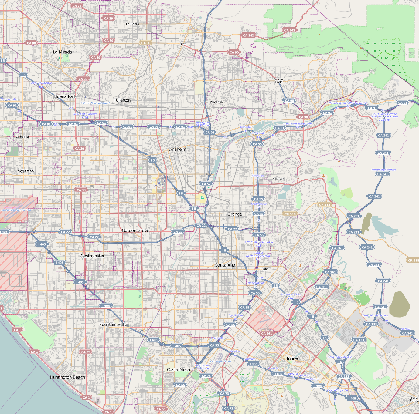
This map of Anaheim, California and vicinity was created from OpenStreetMap project data, collected by the community. This map may be incomplete, and may contain errors. Don't rely solely on it for navigation. |
|||||||||
| Date | (see file history) | |||||||||
| Source | openstreetmap.org | |||||||||
| Creator |
OpenStreetMap contributors |
|||||||||
| Permission (Reusing this file) |
OpenStreetMap data and maps are licensed under the Creative Commons Attribution-ShareAlike 2.0 license (CC-BY-SA 2.0). This file is licensed under the Creative Commons Attribution-Share Alike 2.0 Generic license.
|
|||||||||
| Geotemporal data | ||||||||||
| Bounding box |
|
|||||||||
| Georeferencing | If inappropriate please set warp_status = skip to hide. | |||||||||
File history
Click on a date/time to view the file as it appeared at that time.
| Date/Time | Thumbnail | Dimensions | User | Comment | |
|---|---|---|---|---|---|
| current | 04:23, 5 April 2011 | | 1,380 × 1,365 (1.79 MB) | Zzyzx11 | {{OpenStreetMap |location=Anaheim, California and vicinity |top=33.95 |bottom=33.636 |left=-118.067 |right=-117.685 }} Category:OpenStreetMap maps of California |
File usage
The following 9 pages use this file:
Global file usage
The following other wikis use this file:
- Usage on ar.wikipedia.org
- Usage on ceb.wikipedia.org
- Usage on eo.wikipedia.org
- Usage on fr.wikipedia.org
- Usage on he.wikipedia.org
- Usage on kn.wikipedia.org
- Usage on lv.wikipedia.org
- Usage on si.wikipedia.org
- Usage on tr.wikipedia.org
- Usage on uz.wikipedia.org
- Usage on war.wikipedia.org
- Usage on www.wikidata.org
- Usage on zh.wikipedia.org