
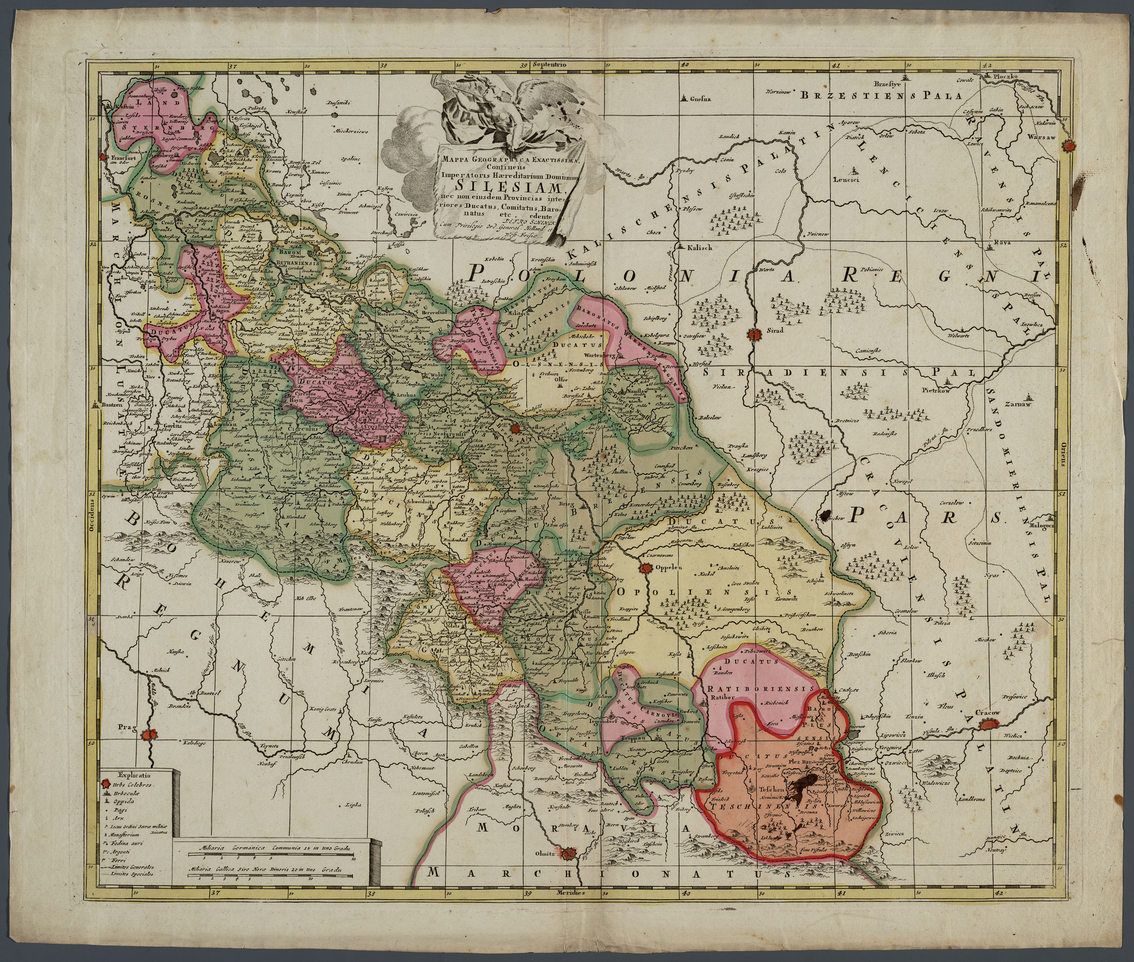
File:Karte Schlesien von Petrus Schenk 1710 flächenkoloriert.jpg
Size of this preview: 707 × 600 pixels. Other resolutions: 283 × 240 pixels | 566 × 480 pixels | 905 × 768 pixels | 1,207 × 1,024 pixels | 2,414 × 2,048 pixels | 3,882 × 3,294 pixels.
Original file (3,882 × 3,294 pixels, file size: 3.04 MB, MIME type: image/jpeg)
| This is a file from the Wikimedia Commons. Information from its description page there is shown below. Commons is a freely licensed media file repository. You can help. |
Summary
| Description |
Deutsch: Karte von Schlesien nach Regierungsbezirken, flächenkoloriert |
| Date | |
| Source | http://www.grabinski-online.de/links/maps/schlesien1.html |
| Author | Petrus Schenk (Pieter Schenk der Ältere) |
Licensing
| This map is ineligible for copyright and therefore in the public domain, because it consists entirely of information that is common property and contains no original authorship. For more information, see Commons:Threshold of originality § Maps.
|
File history
Click on a date/time to view the file as it appeared at that time.
| Date/Time | Thumbnail | Dimensions | User | Comment | |
|---|---|---|---|---|---|
| current | 09:20, 16 October 2017 | | 3,882 × 3,294 (3.04 MB) | Ratzer | User created page with UploadWizard |
File usage
The following page uses this file:
Global file usage
The following other wikis use this file:
- Usage on de.wikipedia.org
- Usage on fr.wikipedia.org