
File:Ivano-Frankivsk province physical map.svg

Size of this PNG preview of this SVG file: 502 × 600 pixels. Other resolutions: 201 × 240 pixels | 402 × 480 pixels | 643 × 768 pixels | 857 × 1,024 pixels | 1,714 × 2,048 pixels | 533 × 637 pixels.
Original file (SVG file, nominally 533 × 637 pixels, file size: 1.21 MB)
| This is a file from the Wikimedia Commons. Information from its description page there is shown below. Commons is a freely licensed media file repository. You can help. |
Summary
| Description |
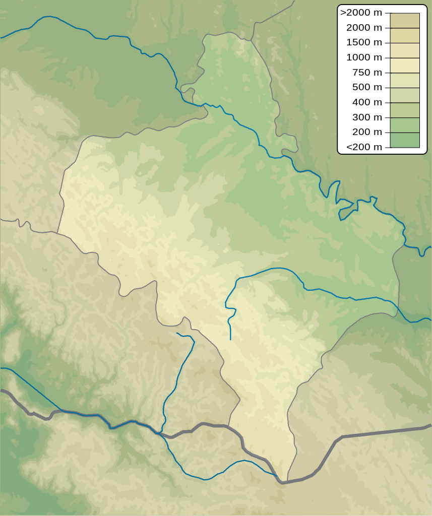
English: Physical map of Ivano-Frankivsk province, Ukraine
Русский: Физическая карта Ивано-Франковской области, Украина |
| Date | |
| Source | Own work |
| Author | Urutseg |
Licensing
| I, the copyright holder of this work, release this work into the public domain. This applies worldwide. In some countries this may not be legally possible; if so: I grant anyone the right to use this work for any purpose, without any conditions, unless such conditions are required by law. |
File history
Click on a date/time to view the file as it appeared at that time.
| Date/Time | Thumbnail | Dimensions | User | Comment | |
|---|---|---|---|---|---|
| current | 18:08, 10 December 2010 | | 533 × 637 (1.21 MB) | Urutseg | == {{int:filedesc}} == {{Information |Description={{en|1=Physical map of Ivano-Frankivsk province, Ukraine}} {{ru|1=Физическая карта Ивано-Франковской области, Украина}} |Source={{own}} |Author=[[User:Urutseg|U |
File usage
The following 16 pages use this file:
- Brebeneskul
- Bukhtivets
- Chernytskyi
- Gwoździec Synagogue
- Hutyn Tomnatyk
- Ivano-Frankivsk International Airport
- Liubsha Air Base
- Makovytsia
- Maniava waterfall
- Menchul
- Probiy
- Sukil waterfalls
- Zarosliak
- Zhenetskyi Huk
- Module:Location map/data/Ukraine Ivano-Frankivsk Oblast
- Module:Location map/data/Ukraine Ivano-Frankivsk Oblast/doc
Global file usage
The following other wikis use this file:
- Usage on ar.wikipedia.org
- Usage on be.wikipedia.org
- Usage on bg.wikipedia.org
- Usage on ceb.wikipedia.org
- Usage on ce.wikipedia.org
- Usage on da.wikipedia.org
- Usage on de.wikipedia.org
- Usage on eo.wikipedia.org
- Usage on es.wikipedia.org
- Usage on fi.wikipedia.org
- Usage on fr.wikipedia.org
View more global usage of this file.