
File:Horsham UK locator map.svg

Size of this PNG preview of this SVG file: 800 × 559 pixels. Other resolutions: 320 × 223 pixels | 640 × 447 pixels | 1,024 × 715 pixels | 1,280 × 894 pixels | 2,560 × 1,788 pixels | 1,425 × 995 pixels.
Original file (SVG file, nominally 1,425 × 995 pixels, file size: 896 KB)
| This is a file from the Wikimedia Commons. Information from its description page there is shown below. Commons is a freely licensed media file repository. You can help. |
| Description |
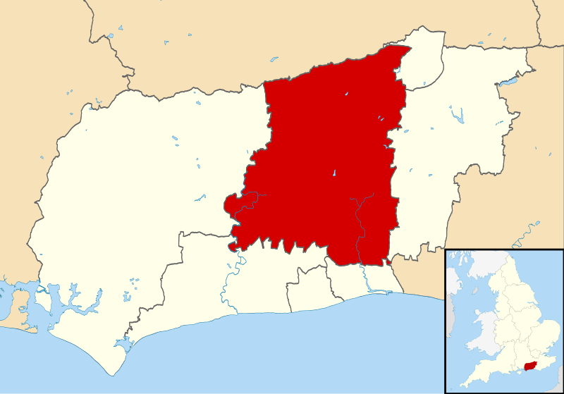
Map of West Sussex, UK with Horsham district highlighted. Equirectangular map projection on WGS 84 datum, with N/S stretched 155% |
| Date | |
| Source |
|
| Author | Nilfanion, created using Ordnance Survey data |
| Permission (Reusing this file) |
This file is licensed under the Creative Commons Attribution-Share Alike 3.0 Unported license. Attribution: Contains Ordnance Survey data © Crown copyright and database right
|
File history
Click on a date/time to view the file as it appeared at that time.
| Date/Time | Thumbnail | Dimensions | User | Comment | |
|---|---|---|---|---|---|
| current | 11:22, 10 March 2011 | | 1,425 × 995 (896 KB) | Nilfanion | {{Information |Description=Map of West Sussex, UK with Horsham district highlighted. Equirectangular map projection on WGS 84 datum, with N/S stretched 155% |Source=Ordnance Survey [https:/ |
File usage
The following 2 pages use this file:
Global file usage
The following other wikis use this file:
- Usage on cy.wikipedia.org
- Usage on es.wikipedia.org
- Usage on fi.wikipedia.org
- Usage on fr.wikipedia.org
- Washington (Sussex de l'Ouest)
- Horsham (Sussex de l'Ouest)
- Shipley (Sussex de l'Ouest)
- Billingshurst
- Lower Beeding
- District de Horsham
- Steyning
- Slinfold
- Coolham
- Upper Beeding
- Bramber
- West Grinstead
- Henfield
- Shermanbury
- West Chiltington
- Cowfold
- Pulborough
- Greatham (Sussex de l'Ouest)
- Storrington
- Nuthurst
- Modèle:Palette Horsham
- Usage on ja.wikipedia.org
- Usage on ko.wikipedia.org
- Usage on lv.wikipedia.org
- Usage on nl.wikipedia.org
- Usage on no.wikipedia.org
- Usage on pl.wikipedia.org
- Usage on ru.wikipedia.org
- Usage on sv.wikipedia.org
- Usage on ur.wikipedia.org
- Usage on www.wikidata.org
- Usage on zh-min-nan.wikipedia.org