
File:Flagge Landkreis Saechsische Schweiz-Osterzgebirge.svg

Size of this PNG preview of this SVG file: 360 × 216 pixels. Other resolutions: 320 × 192 pixels | 640 × 384 pixels | 1,024 × 614 pixels | 1,280 × 768 pixels | 2,560 × 1,536 pixels.
Original file (SVG file, nominally 360 × 216 pixels, file size: 20 KB)
| This is a file from the Wikimedia Commons. Information from its description page there is shown below. Commons is a freely licensed media file repository. You can help. |
Summary
| Description |
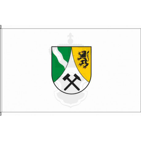
Nederlands: Flagge Landkreis Saechsische Schweiz-Osterzgebirge |
|||
| Date | ||||
| Source | https://www.koenigsbanner.de/129071-large_default/pir-landkreis-sachsische-schweiz-osterzgebirge.jpg | |||
| Author | Unknown | |||
| Permission (Reusing this file) |
|
|||
| Other versions |
This file was derived from: Wappen Landkreis Saechsische Schweiz-Osterzgebirge.svg by Perhelion |

File history
Click on a date/time to view the file as it appeared at that time.
| Date/Time | Thumbnail | Dimensions | User | Comment | |
|---|---|---|---|---|---|
| current | 06:10, 1 March 2025 | | 360 × 216 (20 KB) | Alexphangia | Uploaded own work with UploadWizard |
File usage
The following 2 pages use this file:
Global file usage
The following other wikis use this file:
- Usage on bg.wikipedia.org
- Usage on ca.wikipedia.org
- Usage on cs.wikipedia.org
- Usage on es.wikipedia.org
- Usage on id.wikipedia.org
- Usage on it.wikipedia.org
- Usage on ku.wikipedia.org
- Usage on lld.wikipedia.org
- Usage on lv.wikipedia.org
- Usage on nl.wikipedia.org
- Usage on pl.wikipedia.org
- Usage on ro.wikipedia.org
- Districtul Sächsische Schweiz-Osterzgebirge
- Altenberg (Erzgebirge)
- Bad Gottleuba-Berggießhübel
- Pirna
- Dippoldiswalde
- Hohwald, Saxonia
- Sebnitzer Wald und Kaiserberg
- Lachsbach- und Sebnitztal
- Bahrebachtal
- Georgenfelder Hochmoor
- Elbtal zwischen Schöna und Mühlberg
- Pöbelbachtal und Hofehübel
- Täler von Vereinigter und Wilder Weißeritz
- Nationalpark Sächsische Schweiz
- Usage on rue.wikipedia.org
- Usage on ru.wikipedia.org
- Usage on vec.wikipedia.org
- Usage on www.wikidata.org
- Usage on zh.wikipedia.org