
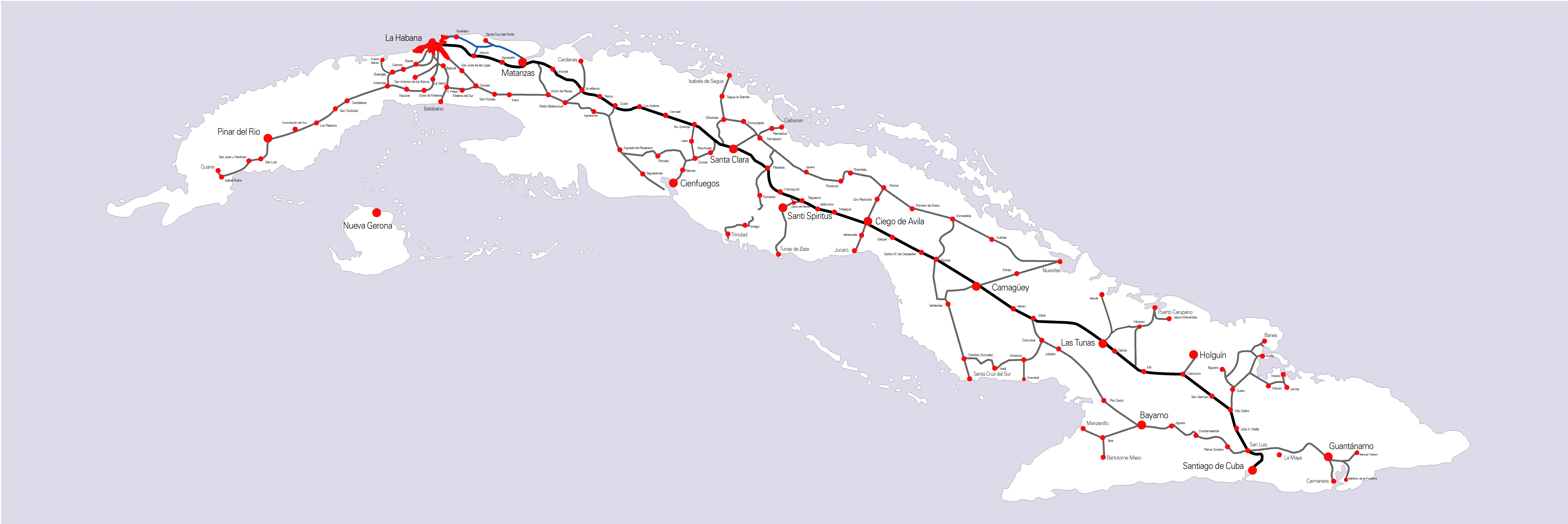
File:Ferrocarriles de cuba map.gif
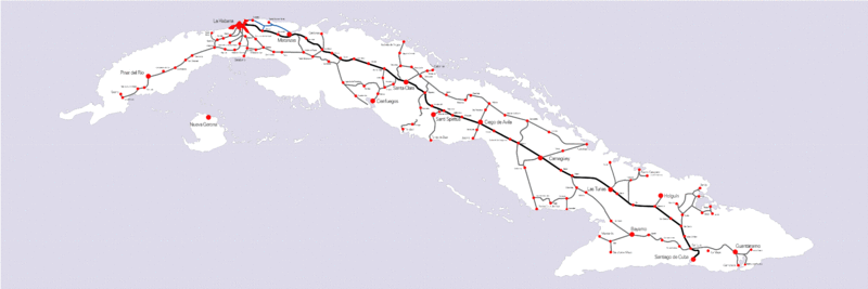
Size of this preview: 800 × 267 pixels. Other resolutions: 320 × 107 pixels | 640 × 214 pixels | 1,024 × 342 pixels | 1,280 × 428 pixels | 6,000 × 2,004 pixels.
Original file (6,000 × 2,004 pixels, file size: 450 KB, MIME type: image/gif)
| This is a file from the Wikimedia Commons. Information from its description page there is shown below. Commons is a freely licensed media file repository. You can help. |

|
This transport map image could be re-created using vector graphics as an SVG file. This has several advantages; see Commons:Media for cleanup for more information. If an SVG form of this image is available, please upload it and afterwards replace this template with
{{vector version available|new image name}}.
It is recommended to name the SVG file “Ferrocarriles de cuba map.svg”—then the template Vector version available (or Vva) does not need the new image name parameter. |
Summary
ferrocarriles de cuba map (main line)
Licensing
| I, the copyright holder of this work, release this work into the public domain. This applies worldwide. In some countries this may not be legally possible; if so: I grant anyone the right to use this work for any purpose, without any conditions, unless such conditions are required by law. |
File history
Click on a date/time to view the file as it appeared at that time.
| Date/Time | Thumbnail | Dimensions | User | Comment | |
|---|---|---|---|---|---|
| current | 22:27, 4 May 2013 | 6,000 × 2,004 (450 KB) | Alabrada | Update 2013 | |
| 18:03, 5 May 2010 | 6,000 × 2,004 (169 KB) | NordNordWest | Hogluin -> Holguín | ||
| 20:23, 31 May 2006 | 6,000 × 2,004 (168 KB) | Gmd | ferrocarriles de cuba map (main line) |
File usage
The following page uses this file:
Global file usage
The following other wikis use this file:
- Usage on ba.wikipedia.org
- Usage on de.wikipedia.org
- Usage on es.wikipedia.org
- Usage on it.wikipedia.org
- Usage on ja.wikipedia.org
- Usage on lez.wikipedia.org
- Usage on ru.wikipedia.org
- Usage on si.wikipedia.org
- Usage on uk.wikipedia.org
- Usage on www.wikidata.org