
File:East Timor Sahrawi Arab Democratic Republic Locator.svg

Size of this PNG preview of this SVG file: 800 × 353 pixels. Other resolutions: 320 × 141 pixels | 640 × 283 pixels | 1,024 × 452 pixels | 1,280 × 565 pixels | 2,560 × 1,130 pixels | 940 × 415 pixels.
Original file (SVG file, nominally 940 × 415 pixels, file size: 1.67 MB)
| This is a file from the Wikimedia Commons. Information from its description page there is shown below. Commons is a freely licensed media file repository. You can help. |
Any autoconfirmed user can overwrite this file from the same source. Please ensure that overwrites comply with the guideline.
Summary
| Description |
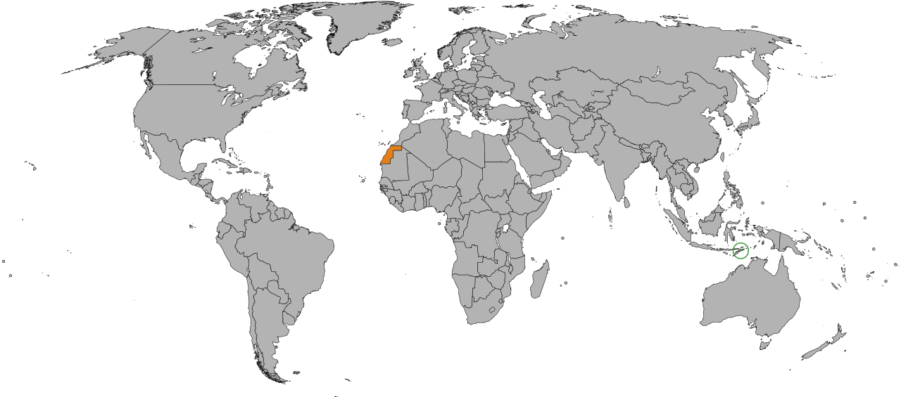
English: Location of East Timor and Sahrawi Arab Democratic Republic (SADR) |
| Date | |
| Source | Own work |
| Author | Jan CZ |
Licensing
| This map is ineligible for copyright and therefore in the public domain, because it consists entirely of information that is common property and contains no original authorship. For more information, see Commons:Threshold of originality § Maps.
|
File history
Click on a date/time to view the file as it appeared at that time.
| Date/Time | Thumbnail | Dimensions | User | Comment | |
|---|---|---|---|---|---|
| current | 20:05, 14 February 2025 | | 940 × 415 (1.67 MB) | Mastersun25 | Karabakh |
| 10:16, 29 June 2024 |  | 940 × 415 (1.67 MB) | Kashmiri | Reverted to version as of 19:14, 14 December 2012 (UTC) | |
| 10:13, 2 October 2023 |  | 940 × 415 (1.67 MB) | Caawiyahaderon | https://www.thehindu.com/news/international/pro-somalia-militia-takes-key-army-base-in-breakaway-region/article67238670.ece | |
| 19:14, 14 December 2012 |  | 940 × 415 (1.67 MB) | Jan CZ | User created page with UploadWizard |
File usage
The following page uses this file:
Global file usage
The following other wikis use this file:
- Usage on de.wikipedia.org
- Usage on es.wikipedia.org
- Usage on he.wikipedia.org
- Usage on ru.wikipedia.org
- Usage on www.wikidata.org