
File:Allt-y-Cafan Mill and Weir, Pentrecwrt.jpg
No higher resolution available.
Allt-y-Cafan_Mill_and_Weir,_Pentrecwrt.jpg (603 × 425 pixels, file size: 93 KB, MIME type: image/jpeg)
| This is a file from the Wikimedia Commons. Information from its description page there is shown below. Commons is a freely licensed media file repository. You can help. |
Summary
| Description |
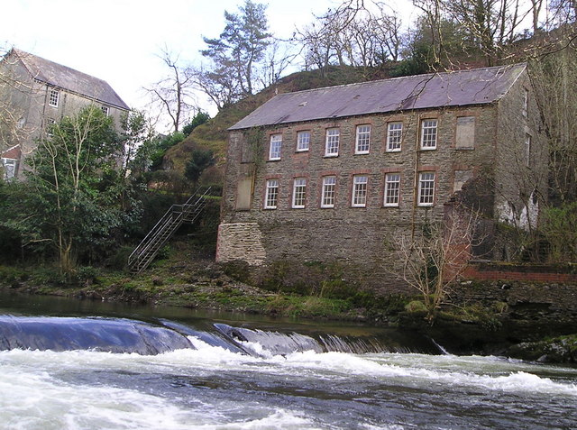
English: Allt-y-Cafan Mill and weir, Llandysul, Wales. One of the water-powered woolen mills in south west Wales that flourished a century ago. |
| Date | |
| Source | From geograph.org.uk |
| Author | Marion Phillips |
| Attribution (required by the license) | Marion Phillips / Allt-y-Cafan Mill and Weir / |
| Camera location | | View this and other nearby images on: OpenStreetMap |
|---|
Licensing

|
This image was taken from the Geograph project collection. See this photograph's page on the Geograph website for the photographer's contact details. The copyright on this image is owned by Marion Phillips and is licensed for reuse under the Creative Commons Attribution-ShareAlike 2.0 license.
|
This file is licensed under the Creative Commons Attribution-Share Alike 2.0 Generic license.
Attribution:
Marion Phillips
- You are free:
- to share – to copy, distribute and transmit the work
- to remix – to adapt the work
- Under the following conditions:
- attribution – You must give appropriate credit, provide a link to the license, and indicate if changes were made. You may do so in any reasonable manner, but not in any way that suggests the licensor endorses you or your use.
- share alike – If you remix, transform, or build upon the material, you must distribute your contributions under the same or compatible license as the original.
File history
Click on a date/time to view the file as it appeared at that time.
| Date/Time | Thumbnail | Dimensions | User | Comment | |
|---|---|---|---|---|---|
| current | 15:47, 20 January 2025 | | 603 × 425 (93 KB) | Sebastian Wallroth | Cropped 6 % horizontally, 11 % vertically, 16 % areawise, rotated 355° using CropTool with precise mode. |
| 13:37, 29 October 2010 |  | 640 × 477 (120 KB) | Cwmhiraeth | {{Information |Description={{en|1=One of the water-powered woolen mills in south west Wales that flourished a century ago.}} |Source=http://www.geograph.org.uk/ |Author=Marion Phillips |Date=2008-03-27 |Permission=== {{int:filedesc}} == {{Information |Des |
File usage
The following 2 pages use this file:
Global file usage
The following other wikis use this file:
- Usage on br.wikipedia.org
- Usage on cy.wikipedia.org
- Usage on www.wikidata.org