
File:2010-10-26 low pressure.jpg
Size of this preview: 800 × 533 pixels. Other resolutions: 320 × 213 pixels | 640 × 427 pixels | 1,024 × 683 pixels | 1,191 × 794 pixels.
Original file (1,191 × 794 pixels, file size: 177 KB, MIME type: image/jpeg)
| This is a file from the Wikimedia Commons. Information from its description page there is shown below. Commons is a freely licensed media file repository. You can help. |
Summary
| Description |
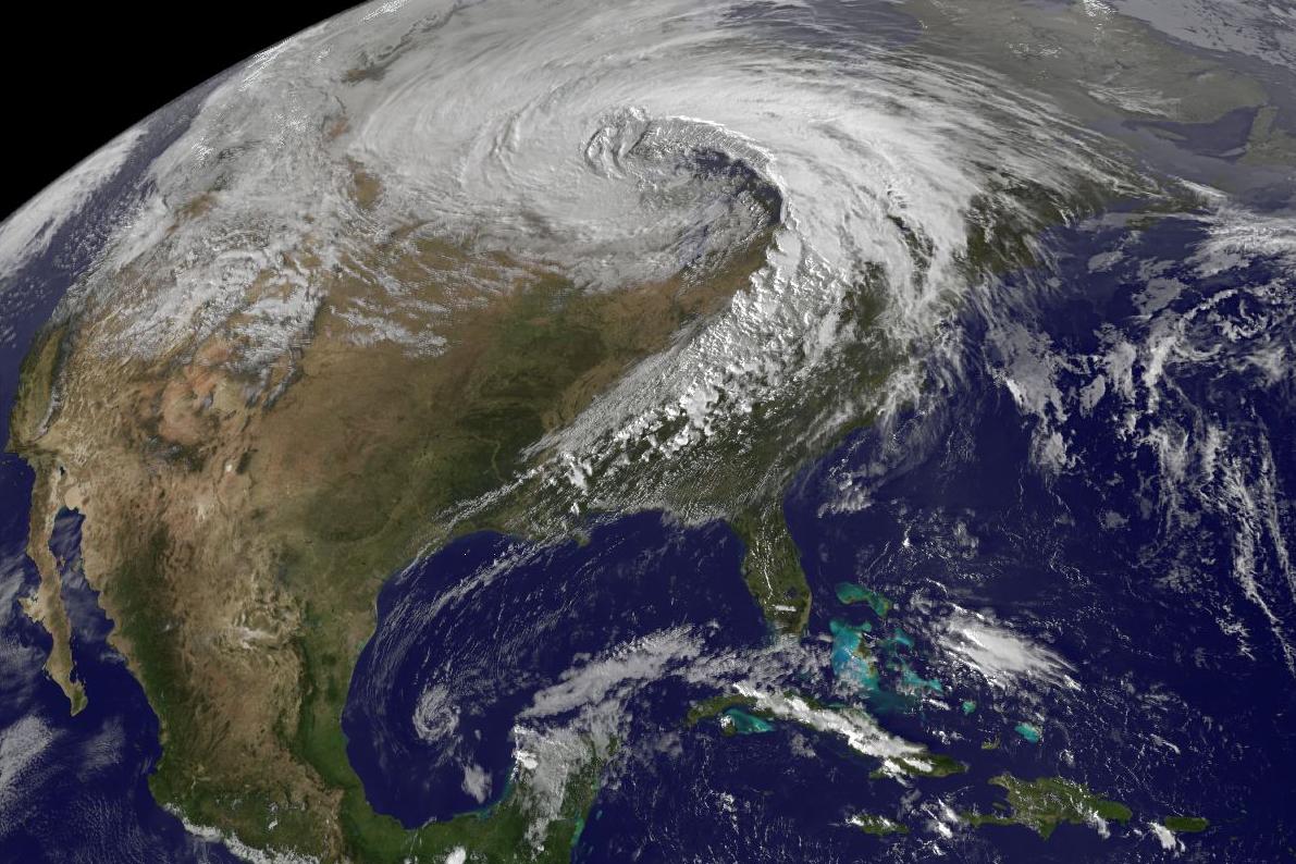
English: Satellite image of the 2010-10-26 low pressure area over the United States |
| Date | |
| Source | http://www.crh.noaa.gov/mpx/?n=10oct2627 |
| Author | NOAA |
Licensing
This image is in the public domain because it contains materials that originally came from the U.S. National Oceanic and Atmospheric Administration, taken or made as part of an employee's official duties.
|
File history
Click on a date/time to view the file as it appeared at that time.
| Date/Time | Thumbnail | Dimensions | User | Comment | |
|---|---|---|---|---|---|
| current | 16:10, 14 December 2010 | | 1,191 × 794 (177 KB) | WxGopher | {{Information |Description={{en|1=Satellite image of the 2010-10-26 low pressure area over the United States}} |Source=http://www.crh.noaa.gov/mpx/?n=10oct2627 |Author=NOAA |Date=2010-10-30 |Permission= |other_versions= }} Category:Satellite pictures |
File usage
The following page uses this file:
Global file usage
The following other wikis use this file:
- Usage on es.wikipedia.org
- Usage on es.wikiversity.org